

About
Orcintech
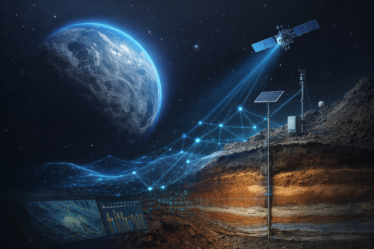
Orcintech is the next step in Earth Intelligence from Seabed to Space, giving you a sharper view of the world around you. By uniting satellite imagery, drone and IoT data, an orchestrated fleet of specialized GeoAI agents, and the conventional knowledge of offshore geotechnical and structural engineering, we help citizens, communities, and policymakers understand how conditions are shifting across our planet.
Learn More About Us
Our story is rooted in a deep respect for the Earth. We built Orcintech to help communities see change clearly, act with confidence, and protect the places that matter most. We believe that understanding our planet is the first step toward safeguarding it.
Empowering Through Innovation and Impact
Vision
To advance global infrastructureal and environmental intelligence through scalable GeoAI, multi-sensor integration, and real-time planetary analysis.
Mission
To fuse remote sensing, drone imagery, IoT data, AI agents, and offshore geotechnics and structures to deliver high-precision insight for infratsructure and environmental applications.
Goal
To build a next-generation GeoAI framework that enables continuous monitoring and data-driven insights from seabed to space to protect our planet.
Stand Up, Act Now: Together We Can Make a Difference
Every action matters, today’s decisions shape tomorrow’s planet, and our responsibility has never been greater.
Building a Better Future
Every action matters, today’s decisions shape tomorrow’s planet, and our responsibility has never been greater.