
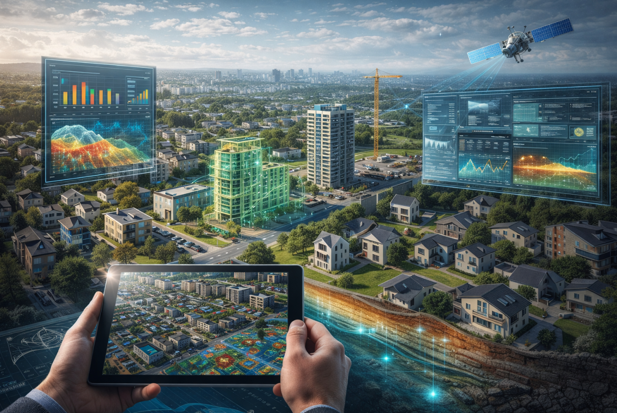
TerraXai
All-in-one Earth Intelligence Platform with Multi-Sensor Data and AI Systems
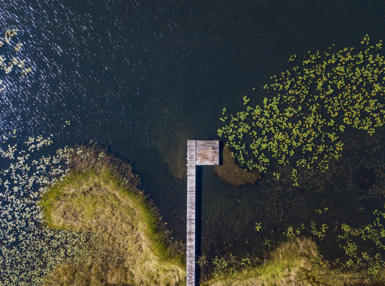
TerraXClimate
A next-generation climate and environment intelligence system that fuses satellite observations, geospatial data streams, environmental sensing, and AI-powered analytics for monitoring and informed assessment of climate impacts and environmental change
Smart Climate & Environmental Monitoring
TerraXClimate, powered by the TerraXai platform, integrates seamlessly with a wide range of environmental data sources, including in-situ monitoring stations, hydrological and atmospheric sensors, Earth-observation satellites, and distributed IoT networks. Through advanced multi-source data fusion, TerraXClimate combines climate variables such as temperature, precipitation, soil moisture, air quality, and land surface dynamics to generate a coherent, real-time understanding of environmental conditions. This integrated approach enables continuous baseline characterization, trend analysis, and impact assessment, supporting informed decision-making for climate monitoring, environmental management, and long-term sustainability planning.

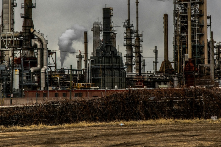
TerraXEnergy
An advanced energy and decarbonization intelligence solution leveraging satellite data and AI analytics to track emissions, improve operational efficiency, and accelerate the transition toward low-carbon and sustainablity
Smart Energy & Decarbonization Managment
TerraXEnergy, powered by the TerraXai platform, integrates seamlessly with energy infrastructure data, remote sensing sources, and distributed monitoring systems to provide comprehensive visibility across energy assets and emissions sources. By combining satellite observations, operational data, and advanced analytics, TerraXai delivers a unified view of energy performance, emissions dynamics, and system efficiency. This integrated framework enables continuous monitoring, baseline assessment, and performance tracking, supporting data-driven decarbonization strategies, optimized energy operations, and informed decision-making across the energy lifecycle.
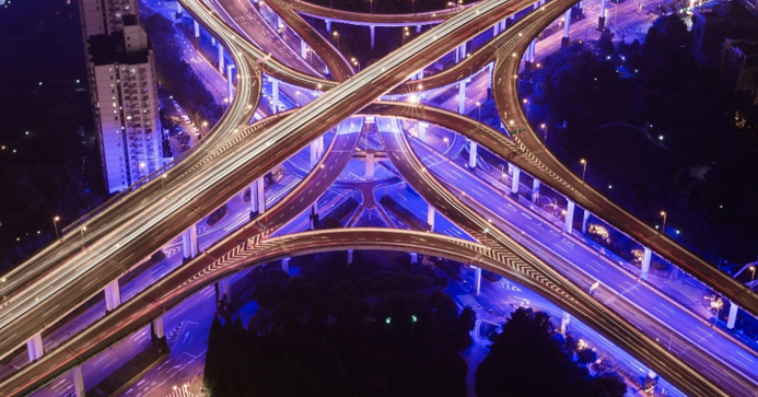
TerraXUrban
An advanced intelligent platform for the observation and decision support in smart cities to support sustainable urban planning, infrastructure optimization, and data-informed urban decision-making
Smart Cities & Urban Planning
TerraXUrban, powered by the TerraXai platform, integrates urban data streams, Earth observation sources, and connected sensing technologies to provide a comprehensive view of city dynamics and infrastructure performance. By fusing satellite imagery, spatial analytics, and real-time urban data, TerraXai delivers actionable insight into land use, mobility patterns, infrastructure condition, and urban growth trends. This integrated capability supports evidence-based planning, resilient city design, and informed decision-making for sustainable and smart urban development.
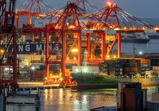
TerraXMarine
A smart maritime intelligence ecosystem that connects sea, shore, and infrastructure through satellite data and artificial intelligence, enabling safer navigation, optimized port operations, and resilient coastal management
Smart Port and Maritime Operation
TerraXMarine, powered by the TerraXai platform, integrates satellite observations, maritime monitoring systems, and coastal sensor networks to deliver comprehensive visibility across ports, waterways, and offshore environments. By combining vessel activity data, oceanographic information, and spatial analytics, TerraXai provides a unified understanding of maritime operations, environmental conditions, and infrastructure performance. This integrated capability supports enhanced situational awareness, port efficiency, maritime safety, and data-driven decision-making for sustainable and resilient marine operations.
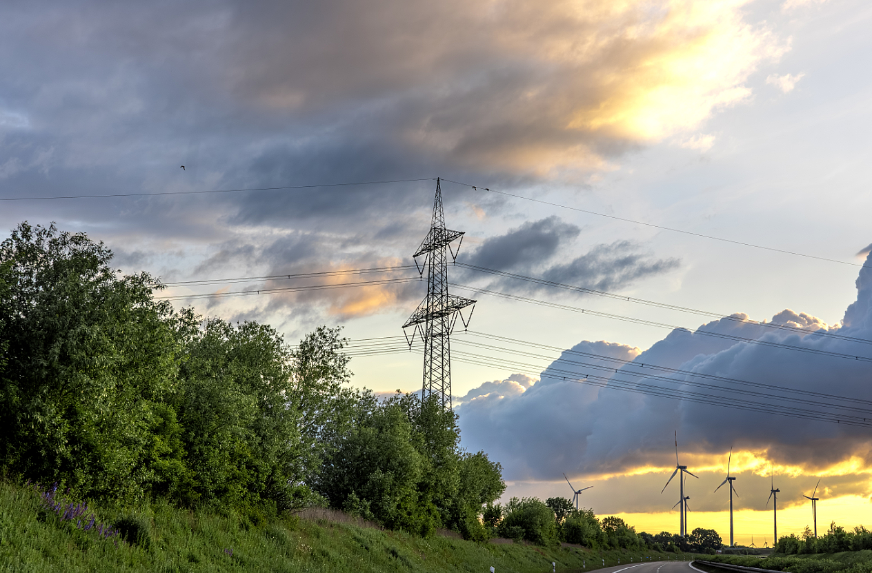
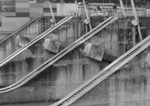
TerraXPower
An advanced utility analytics capability that combines infrastructure data, spatial intelligence, and predictive modelling to support reliable power delivery, asset lifecycle management, and system resilience
Smart Power Grid & Utilities Management
TerraXPower, powered by the TerraXai platform, integrates power system data, remote sensing inputs, and distributed monitoring technologies to provide comprehensive visibility across electricity networks and utility infrastructure. By combining satellite observations, asset-level data, and advanced analytics, TerraXai enables continuous assessment of grid performance, infrastructure condition, and operational risks. This integrated capability supports improved reliability, resilience planning, and data-driven decision-making for modern power systems and utility operations.
TerraXRealEstate
A data-driven real estate and housing intelligence solution that supports site evaluation, asset monitoring, and development planning through integrated spatial analysis and digital assessment tools
Smart Real Estate & Hosuing Support
TerraXRealEstate, powered by the TerraXai platform, integrates spatial intelligence, building-level data, and environmental information to provide comprehensive insight into real estate assets and housing developments. By combining satellite observations, geospatial analytics, and contextual data, TerraXai enables informed assessment of site conditions, development potential, and asset performance. This integrated capability supports smarter planning, risk-aware investment, and sustainable management across residential and mixed-use developments.
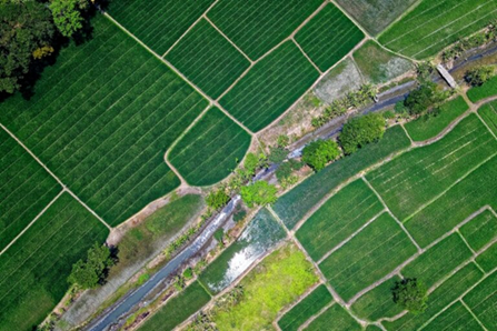
TerraXAgri
A modern precision agriculture framework that combines geospatial intelligence, environmental indicators, and analytical models to improve crop performance, land management, and input efficiency
Intelligent Precision Agriculture
TerraXAgri, powered by the TerraXai platform, integrates satellite imagery, field-level sensing, and environmental data to deliver comprehensive insight into agricultural conditions and crop performance. By combining remote sensing, soil and vegetation indicators, and temporal analytics, TerraXai enables continuous monitoring of crop health, water stress, and land productivity. This integrated capability supports precision farming practices, optimized resource use, and data-driven decision-making for sustainable and resilient agricultural management.
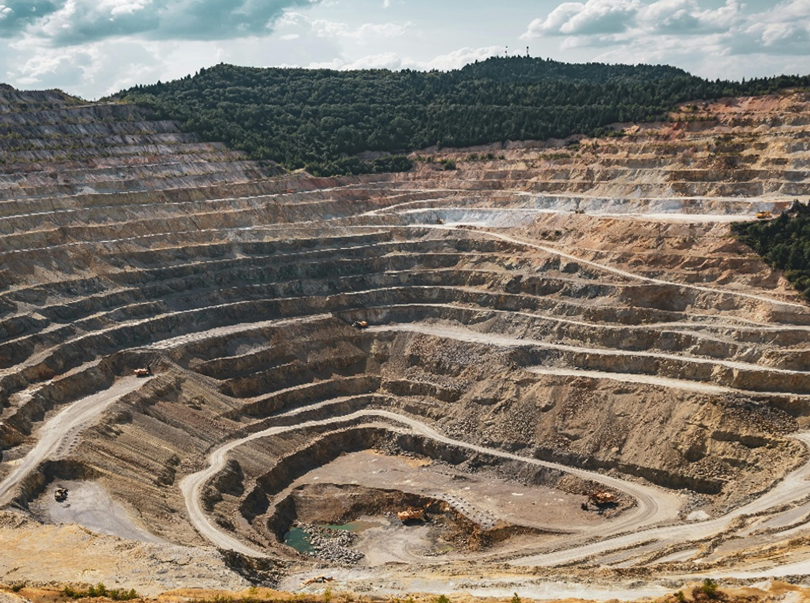
TerraXMine
An Intelligent platform to support predictive and real-time observation and decision making in mining and minerals exploration, operation, and sustainability through integrated spatial analysis and subsurface data interpretation
Intelligent Mining & Minerals Management
TerraXMine, powered by the TerraXai platform, integrates satellite imagery, geospatial datasets, and subsurface information to provide comprehensive insight into mineral resources and mining operations. By combining remote sensing, geological indicators, and analytical models, TerraXai supports mineral exploration, site characterization, and operational monitoring. This integrated capability enables improved resource assessment, risk-informed planning, and data-driven decision-making across the mining lifecycle, from exploration to production and reclamation.
TerraXInfra
An advanced analytics framework for transportation and infrastructure systems, enabling condition assessment, network analysis, and informed decision-making across roads, rail, and civil assets
Intelligent Infrastructure & Transportation Management Management
TerraXInfra, powered by the TerraXai platform, integrates satellite data, infrastructure monitoring systems, and spatial analytics to deliver comprehensive insight into transportation networks and built assets. By combining remote sensing, asset condition data, and temporal analysis, TerraXai enables continuous assessment of infrastructure performance, corridor behavior, and operational risks. This integrated capability supports proactive maintenance, resilient infrastructure planning, and data-driven decision-making across roads, railways, bridges, and transportation corridors.
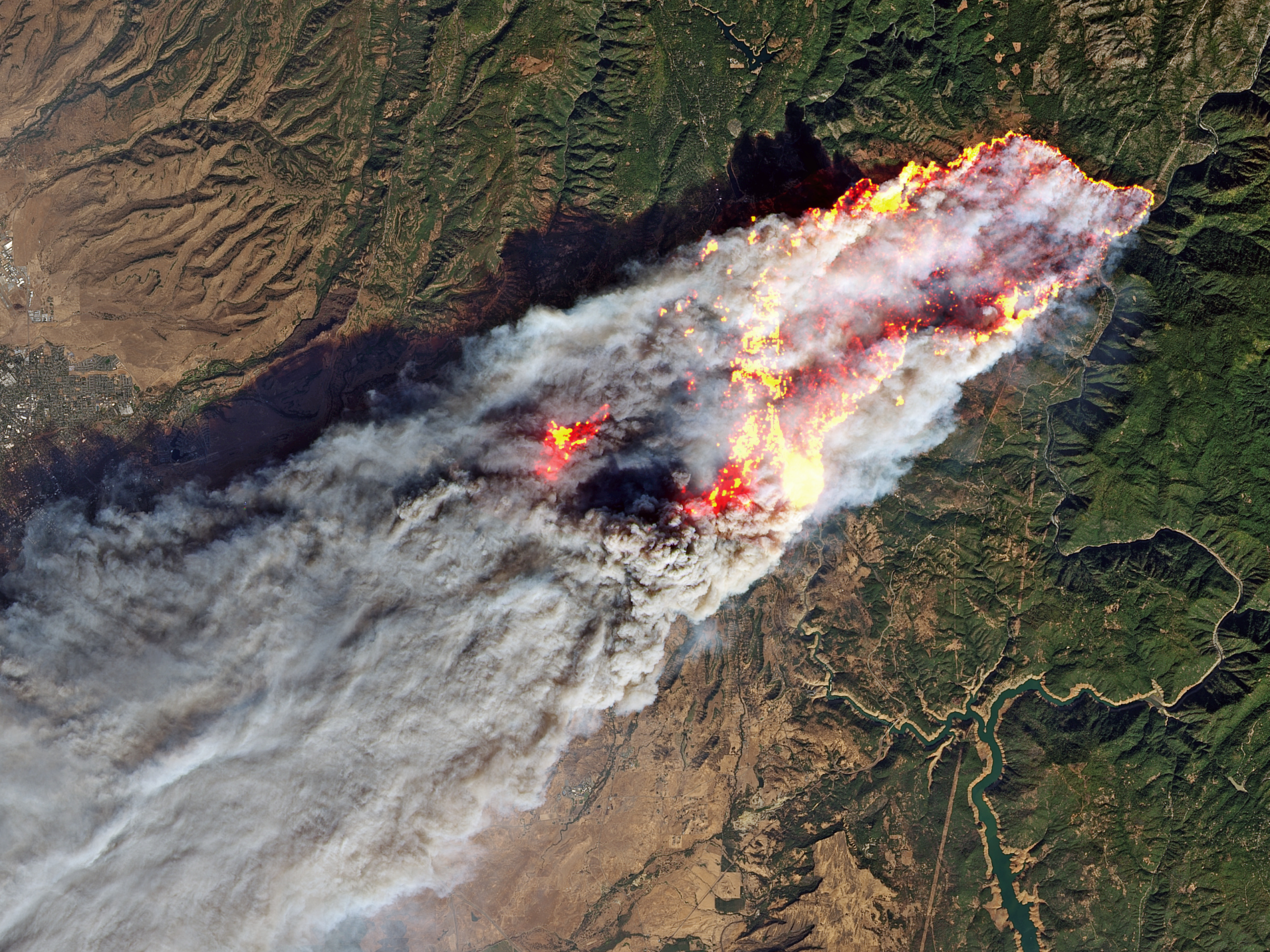
TerraXFire
An Intelligence platform for the full cycle of wildfire observation and management, from prefire, during fire, and to postfire support.
Smart Wildfire Management
TerraXFire is hosted by TerraXai, and seamlessly connects with a wide range of environmental sensors, including aquatic and terrestrial IoT networks, ground-based and field-deployed cameras, and high-resolution satellite data sources. Through advanced multi-sensor fusion, TerraXai integrates real-time wind, weather, and atmospheric information to deliver a unified, accurate picture of on-the-ground conditions. This connectivity also supports detailed pre-fire baseline mapping, enabling more informed decision-making and stronger situational awareness before, during, and after wildfire events.
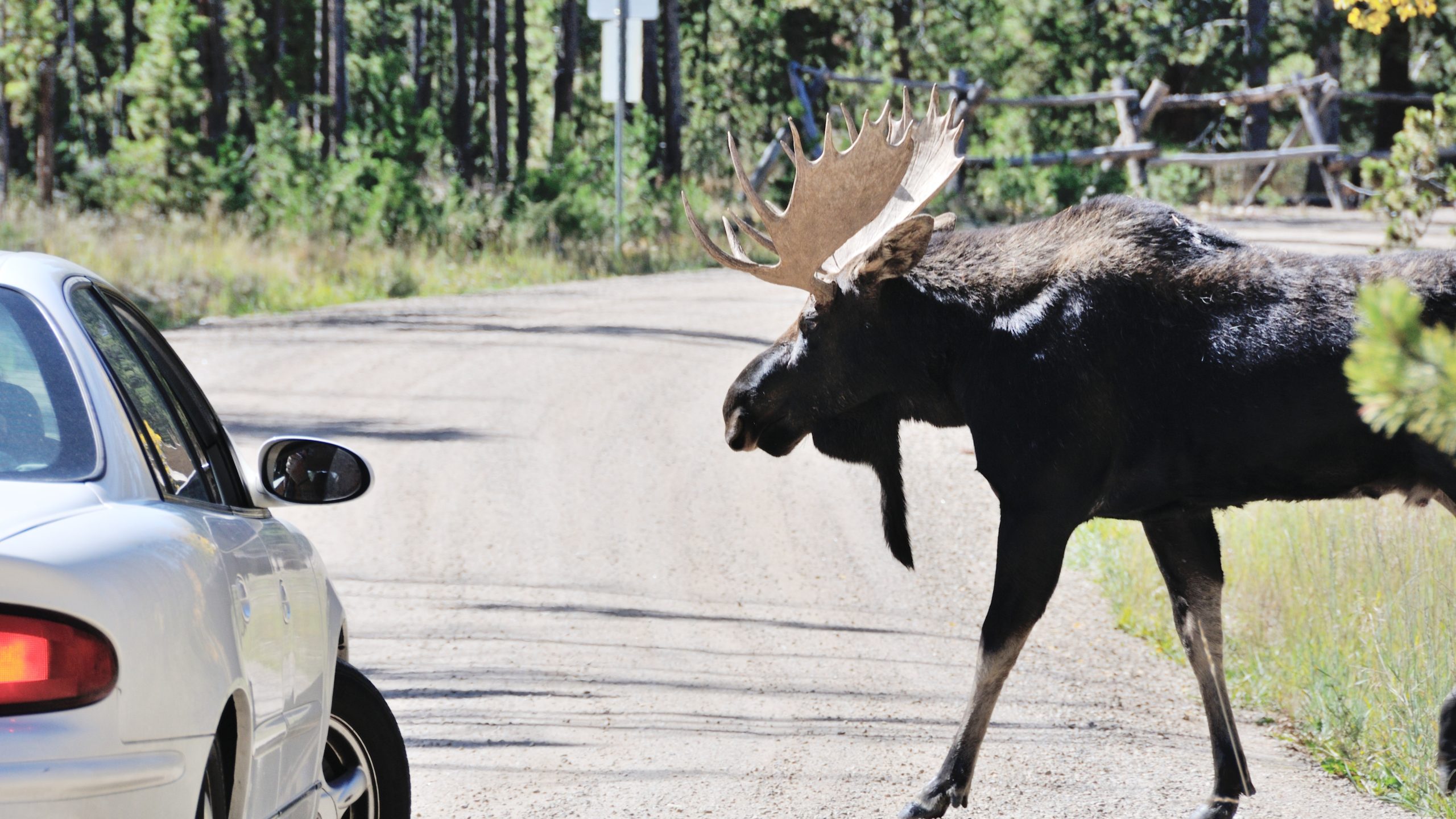
TerraXWildlife
An advanced wildlife monitoring solution powered by satellite imagery, IoT sensors, field cameras, and intelligent AI agents, delivering accurate insights into wildlife movement, habitat changes, and ecosystem health.
Smart Wildlife Monitoring
TerraXWildlife, powered by the TerraXai platform, integrates satellite observations, habitat data, and distributed sensing technologies to provide comprehensive insight into wildlife movement, habitat conditions, and ecosystem dynamics. By combining remote sensing, environmental indicators, and spatial analytics, TerraXai enables continuous monitoring of species distribution, migration patterns, and habitat health. This integrated capability supports conservation planning, biodiversity assessment, and data-driven decision-making for sustainable wildlife and ecosystem management.
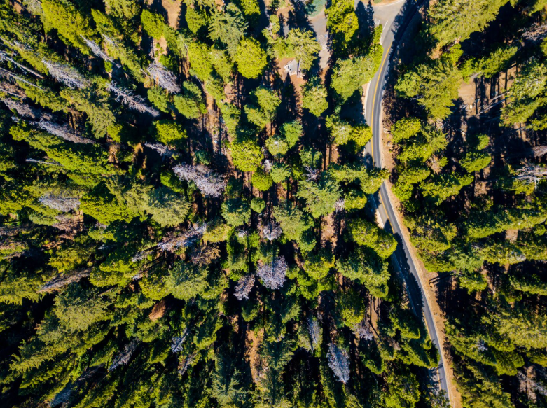
TerraXGreen
A modern forestry, vegetation and land-health monitoring solution using satellite imagery, ground sensors, and AI models to deliver precise, real-time insights for landscape management and environmental stewardship
Smart Forestry & Vegetation Monitoring
TerraXGreen, powered by the TerraXai platform, integrates satellite imagery, vegetation indices, and environmental data to provide comprehensive insight into forest conditions and vegetation dynamics. By combining remote sensing, canopy analysis, and temporal change detection, TerraXai enables continuous monitoring of forest health, biomass trends, and land cover change. This integrated capability supports sustainable forest management, ecosystem monitoring, and data-driven decision-making for conservation, planning, and resource stewardship.
TerraXWater
An advanced data-driven water and hydrology intelligence solution that supports watershed analysis, flood and drought assessment, and water resource management through integrated spatial data and environmental analytics
Smart Water & Hydrology Monitoring
TerraXWater, powered by the TerraXai platform, integrates satellite observations, hydrological data, and environmental monitoring systems to provide comprehensive insight into surface and subsurface water dynamics. By combining remote sensing, watershed analytics, and temporal data analysis, TerraXai enables continuous monitoring of water availability, flow patterns, flood risk, and drought conditions. This integrated capability supports informed water resource management, risk mitigation, and data-driven decision-making for sustainable and resilient water systems.
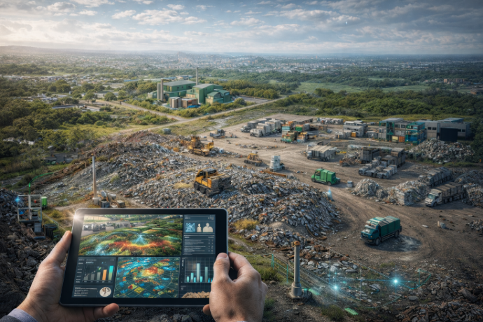
TerraXWaste
An smart digital intelligence approach for waste and resource management that enhances operational visibility, supports compliance, and improves planning across collection, treatment, and disposal activities
Smart Waste Management
TerraXWaste, powered by the TerraXai platform, integrates spatial data, environmental monitoring inputs, and operational datasets to provide comprehensive insight into waste generation, handling, and disposal systems. By combining remote sensing, site-level information, and analytical modeling, TerraXai enables continuous monitoring of waste facilities, landfill dynamics, and environmental impacts. This integrated capability supports improved operational efficiency, regulatory compliance, and data-driven planning for sustainable and responsible waste management.
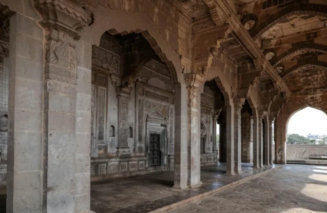
TerraXHeritage
A data-driven tourism and cultural heritage intelligence solution that supports site monitoring, visitor analysis, and heritage preservation through integrated spatial data and contextual analytics
Smart Tourism & Cultural Heritage
TerraXHeritage, powered by the TerraXai platform, integrates satellite observations, spatial data, and cultural site information to provide comprehensive insight into tourism assets and heritage environments. By combining remote sensing, environmental indicators, and spatial analytics, TerraXai enables continuous monitoring of site conditions, visitor dynamics, and environmental pressures. This integrated capability supports heritage preservation, sustainable tourism planning, and informed decision-making for the protection and management of cultural and natural assets.